

![]()
- Special geographic places
- Historical line Alaska – Siberia
- Other special places and tracks on the route
Special geographic places of Russia
Westernmost of Russia is on Baltiysk, Kaliningrad Oblast, as the place is an enclave, is considered as an island. This place is located 500 km east from Kaliningrad’s enclave. Our goal – is the westernmost point of the main continent. It’s an undistinguished point near a town Lavry, Pskov Oblast, located near the place of the border of three States: Russia, Lithuania and Latvia. Lavry will be first visited by an air-craft and flagged by “RUSSIA 360” air-crew.
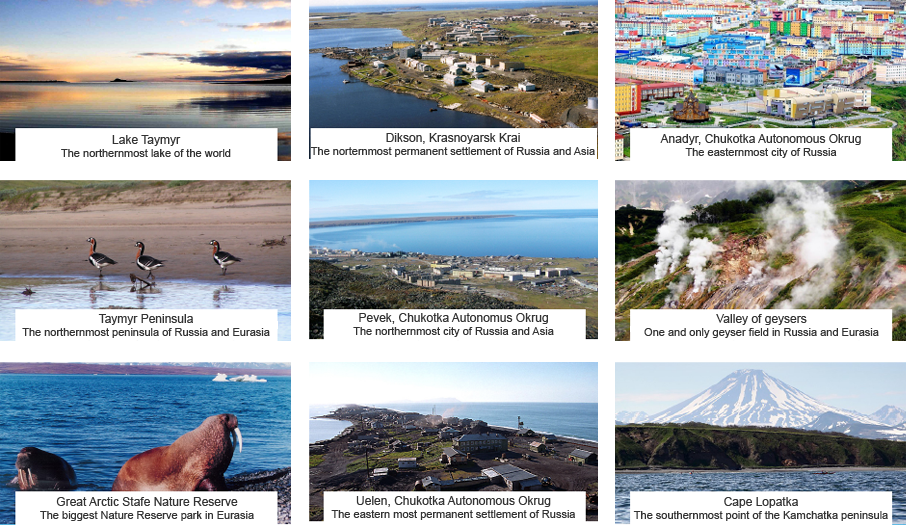
Northernmost point of Russia is Cape Chelyuskin, Krasnoyarsk Krai. It’s also considered to be the northernmost point of the Asia and Eurasia. It’s a very difficult to get place, where is no roads or pathways. The only way to get there is to use northern sea trade way. “RUSSIA 360” air-crew for the first time in history will visit the Cape and flag the territory; it will be the first experience in History.

Easternmost point of Russia is Big Diomede Island, Chukotk. This is also an island point, Easternmost point of inland Russia and the whole Eurasia is Cape Dezhnev. Cape Dezhnev is one of the most strange and dangerous places of Chukotka half-island; there are cliffs hulk up to each other, weather is always foggy and windy. All that makes it a very difficult point to get. Of course “RUSSIA 360” air-crew will visit the Cape and flag the territory. That will also be the first time private aviation aircraft to land on the Cape Dezhnev.
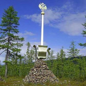
Commonly known such geographical characters as the Earth’s poles, the equator, prime meridian, the boundaries of continents, the extreme points of states, e. t. c. A special place in the characters take the geographical centers of the countries. Those kinds of centers have all countries, and Russia isn’t an exception. In Russia it’s Lake Vivi, is a lake in the Putorana Plateau, Evenkia which has no permanent settlements along its banks. It is famous as the geographical center of Russia. The spot is marked by a 7-metre monument erected in August 1992. Nearby is an even higher cross dedicated to St. Sergius of Radonezh. Of course “Russia 360” air-crew will visit the Cape and flag the territory.
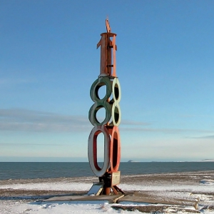
The 180th meridian or antimeridian is the meridian which is 180° east or west of the Prime Meridian with which it forms a great circle. It is common to both east longitude and west longitude. It is used as the basis for the International Date Line because it for the most part passes through the open waters of the Pacific Ocean. However, the meridian passes through Russia and Fiji as well as Antarctica. “Russia 360” air-crew will visit the monument of “The 180th meridian” which is on Cape Schmidt and flag the territory.
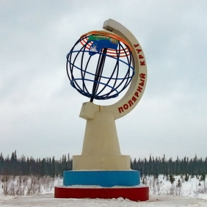
A third part of the expedition way (about 10. 000 km) is on North of the Arctic Circle. As there are many monuments and cultural places on it the expedition air-crew will visit them, which are know about 10 units. The nearest one is in Republic of Komi, between Naryan and Vorkuta. The most difficult of approach one is Bay of Krest, Chukotka.
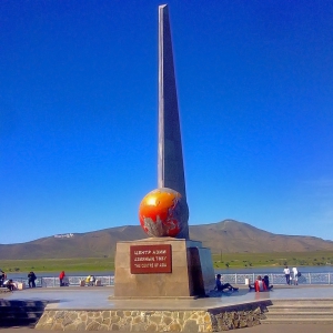
The lowest at the Earth’s surface temperature has been featured at the Antarctic station “Vostok” in July 1983 – 89,2 °С below zero. There is no always living population in Antarctica. The Northern hemisphere the extremest frosts was noted close to living area. There are 2 places in Yakutia colud be called “The Northern hemisphere”: Oimyakon and Verkhoyansk. In Oimyakon the coldest registred temperature -67,7 ° C. That’s why it is commonly believed that Oimyakon is Poles of Cold of the Northern hemisphere. “Russia 360” air-crew will visit Poles of Cold of the Northern hemisphere and flag the territory.
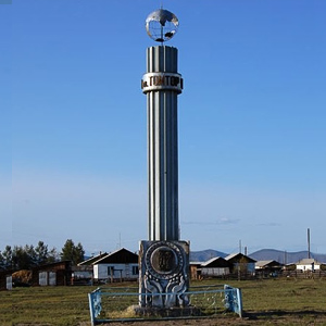
Center of Asia is the point, marking the geographical center of Asia. Location of the Center dependens on the definition of the boundaries of Asia and generally determined by the chosen method, this is the reason why Geographical Center of Asia can be located in two places: the city of Kyzyl, The Tyva Republic, and the place in Xinjiang Uyghur Autonomous Region(China). The air-crew decided to visit Kizil and Center of Asia, as it’s an important geographical point on the map of Russia.
Historical line Alaska – Siberia
Delivery of the goods from the U.S.A. to the USSR with Lend-Lease during World War II was held on several lay of line:
- through North Atlantic to Murmansk and Arkhangelsk;
- through the Pacific Ocean to Vladivostok;
- through Persian Corridor: from Indian Ocean to Irak Port Basra and then through Irak to USSR.
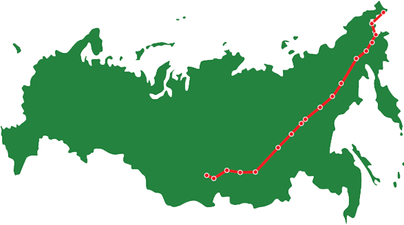
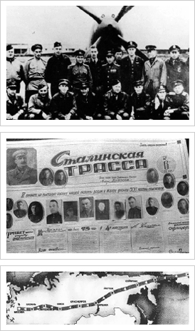
All of them were dangerous or very long. Government Committee of Defense has decided to arrange delivery by aircraft from the U.S. to the USSR in 1941. For this was arranged skyway “Uelkal – Krasnoyarsk”, which was use since 1942. It was the USSR part of a long skyway for distillation of american planes. The American Part of the skyway began in Great Falls, Montana, and ends in Nome, Alaska. The total length of it was 6 500 km, the territory of the USSR is 5 000 km. From the factory in US to USSR territory planes had to travel up to 14 000 km.
The way of the helicopter expedition “Russia 360” consist of the following tasks:
- First in History full air- pass line Alaska – Siberia from Providence Bay to Krasnoyarsk by an airborne vehicle for general purpose (private aviation);
- First in History full air- pass line Alaska– Siberia by a helicopter.
Other special places and tracks on the route